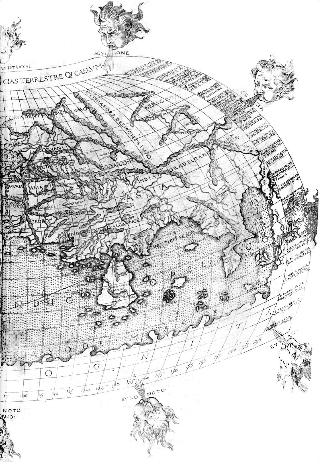
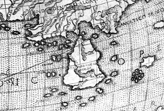
1482 Map based on Ptolemy's Map of 160 A.D. Note
the "Ganges Sound" in the upper right corner of this
picture.
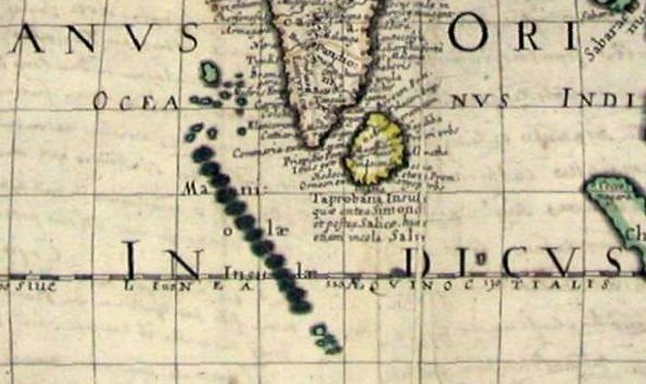
The great Indian subcontinent is the little spur by the
"G". I guess they figured Ceylon was a much larger
island than it turned out to be...
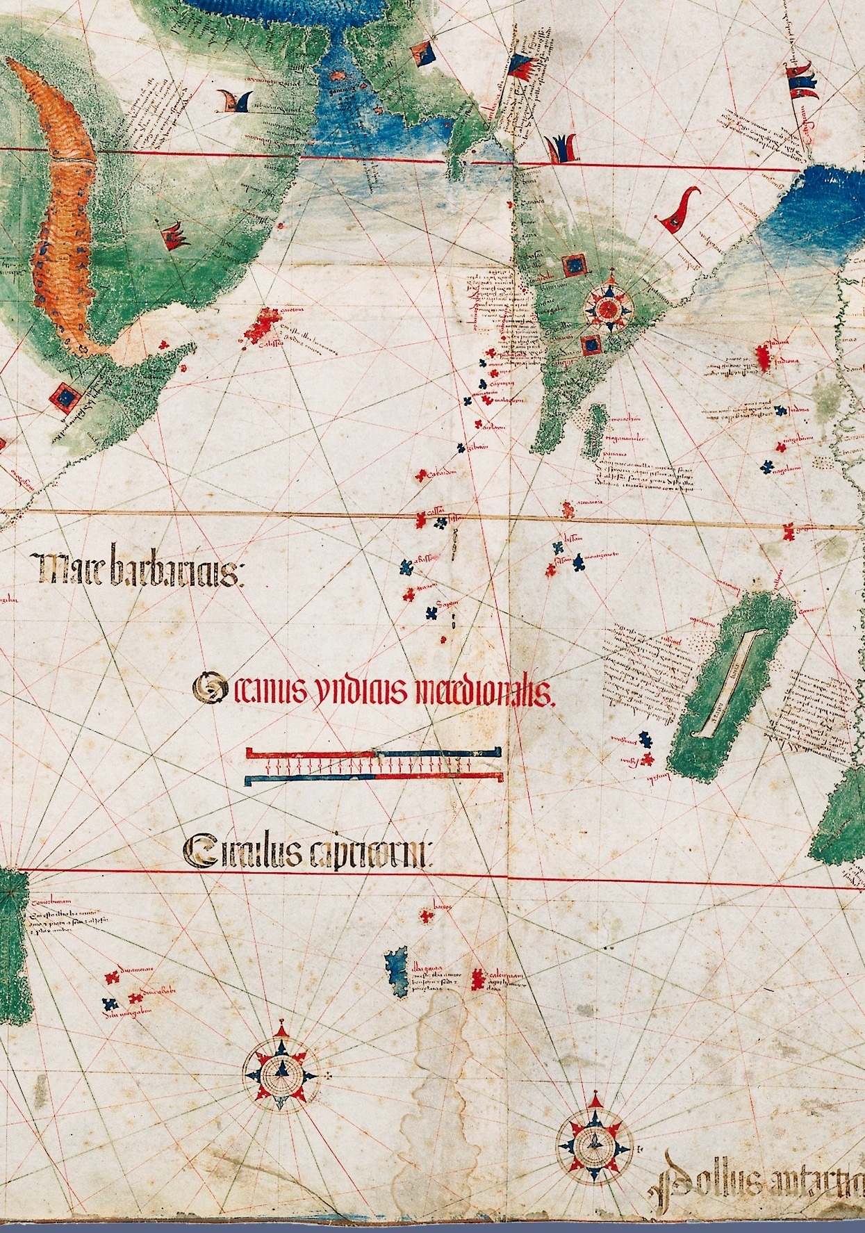
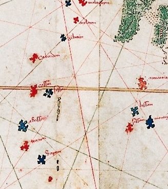
1502 - Albert Cantino's Map, showing for the first time
islands where Diego actually is.
The green land masses in the upper right are the tip of India
and Ceylon (although Ceylon is misplaced too)...
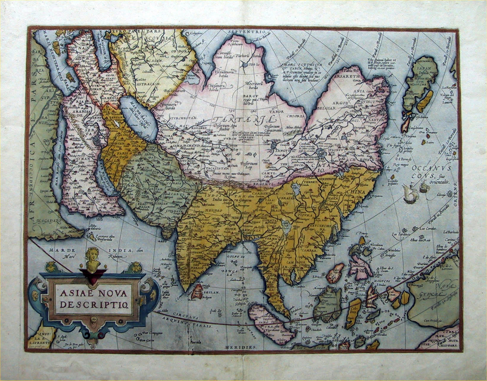
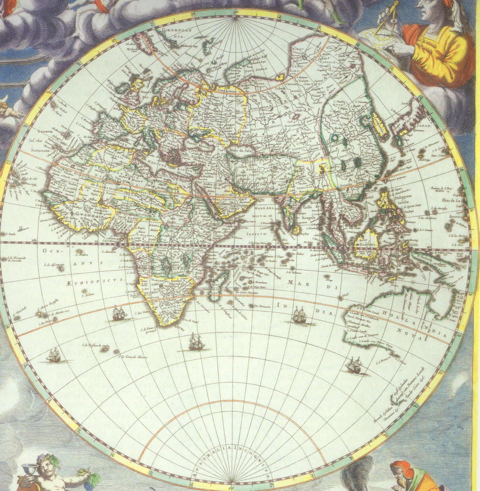
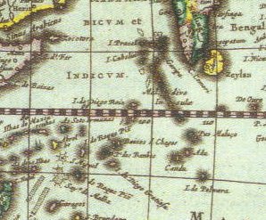
By 1573, Ortelius had pretty much pegged DG as an atoll, and
roughly in the right place...and gave it the name "Don
Garcia":
In 1620, Blaeu called it "Isle de Diego Gratiase".
But by 1650, it had disappeared. Right off the
charts.
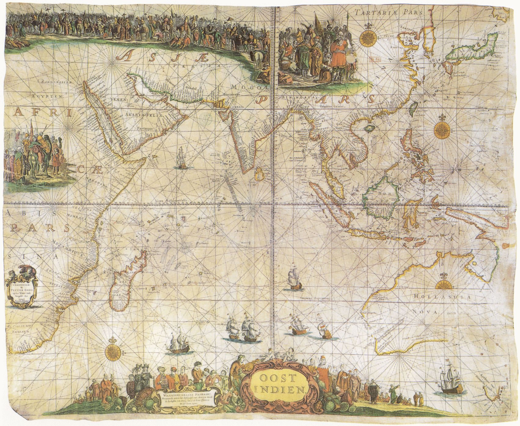
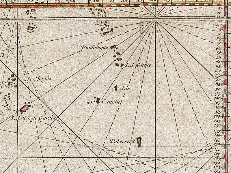
In 1680, Goos put the position of Isle de Diego
Garcia in the right place, but the Footprint of Freedom
looking atol is in the wrong spot and called
"Polyerera". This same layout is found on a 1700 chart
as well.
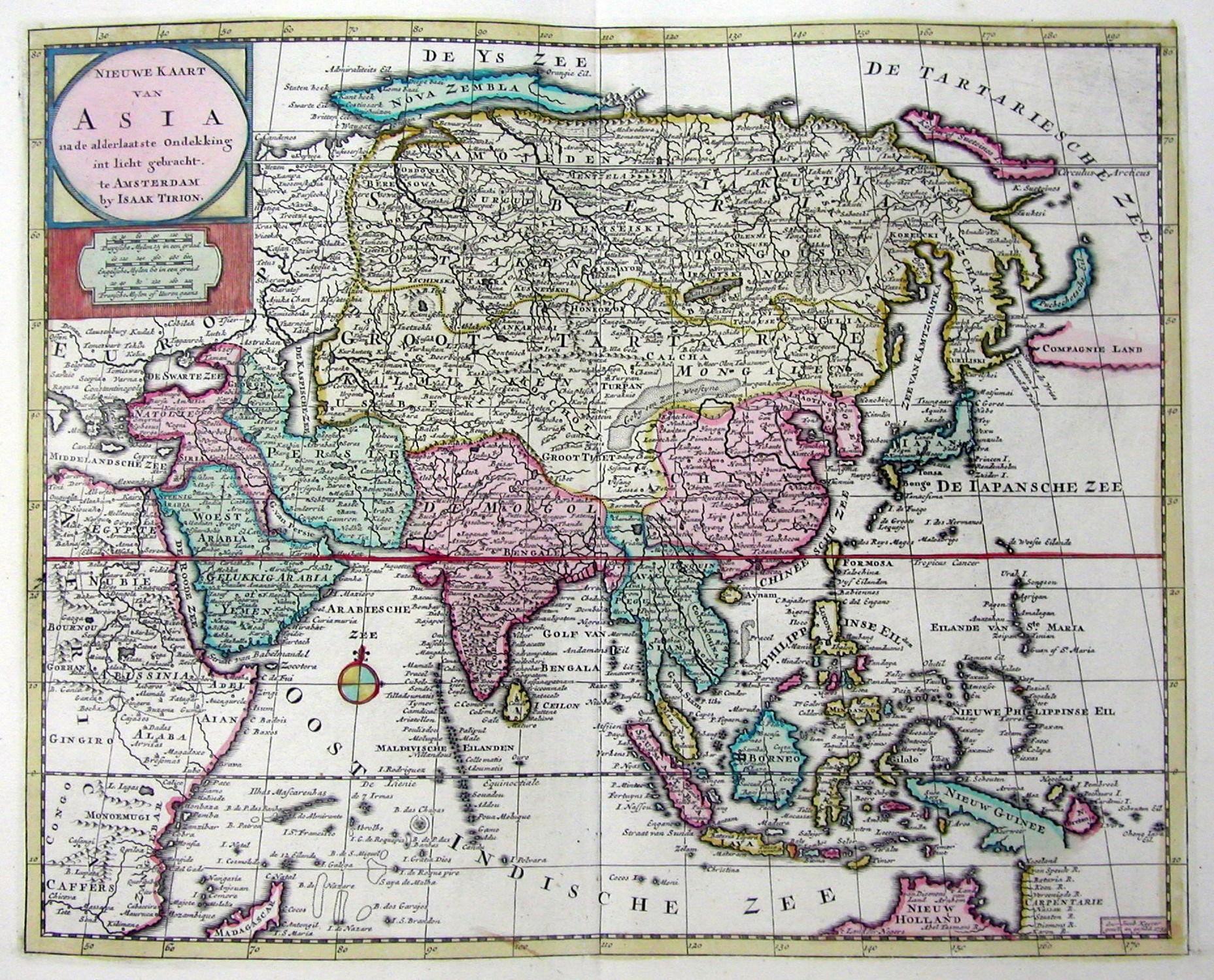
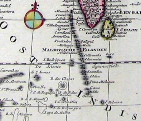
In 1750, DG has become Isle Gratia Dios (Thank God
Island) on Tirion's map.
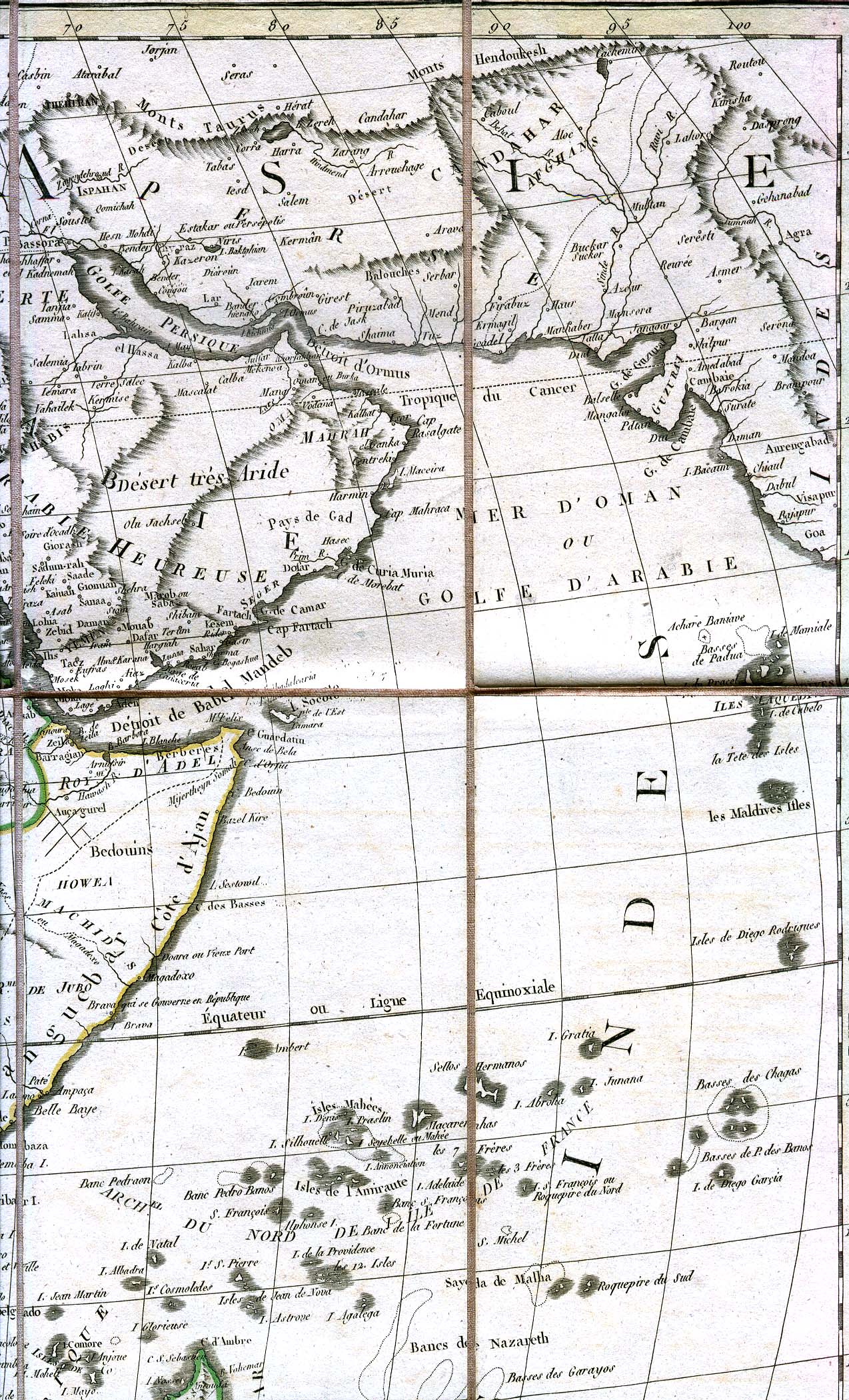
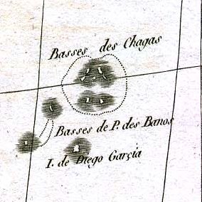
In 1829, it's in the right spot in relation to the Chagos,
but still not shown as an atoll.
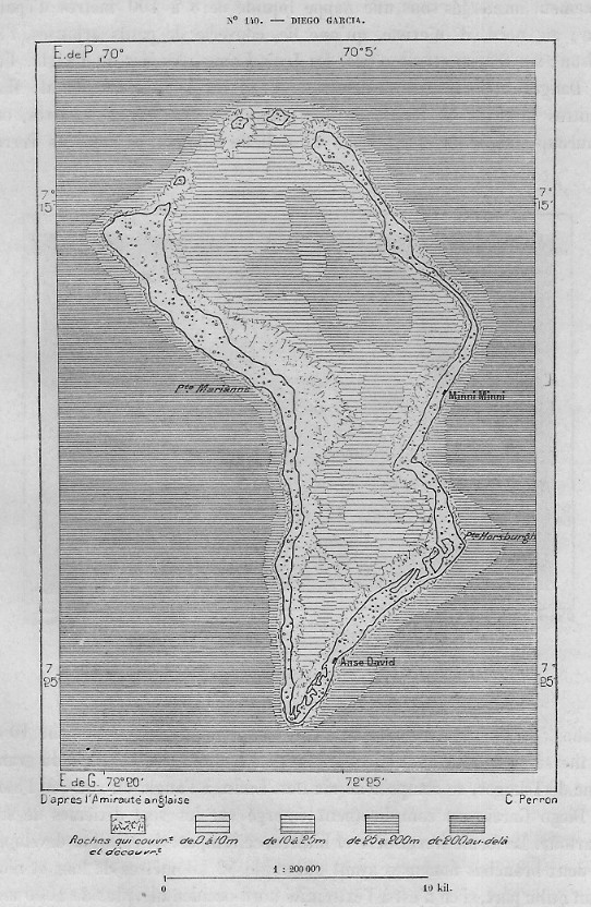
Here's an 1883 map. It looks like DG. Sort of.
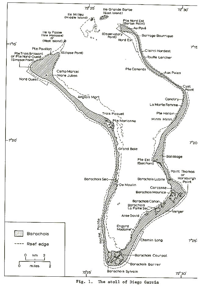
BELOW: This chart is from the 1967 Stoddard and
Taylor expedition. Provided to them by the HMS
VIDAL.
Many of the place names have been Americanized, but these
are the actual names of the various coves and points, etc.
From Atoll Research Bulletin No. 175.
That's about all the old maps I could find for this page.
I wish I had something from the first half of the 20th
Century, but alas, I can't find anything.
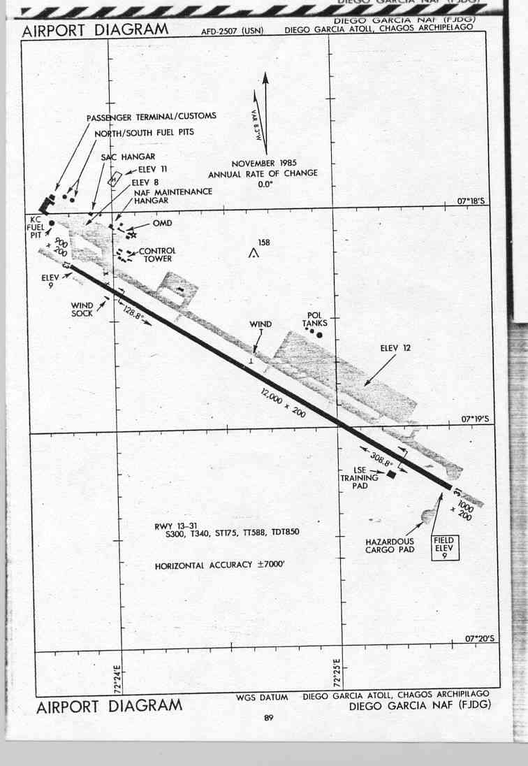
Here's a diagram of the airfield, circa 1985 or so:
Then, we skip forward to 1991...
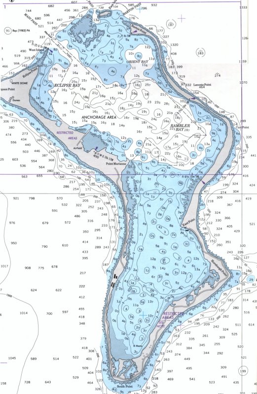
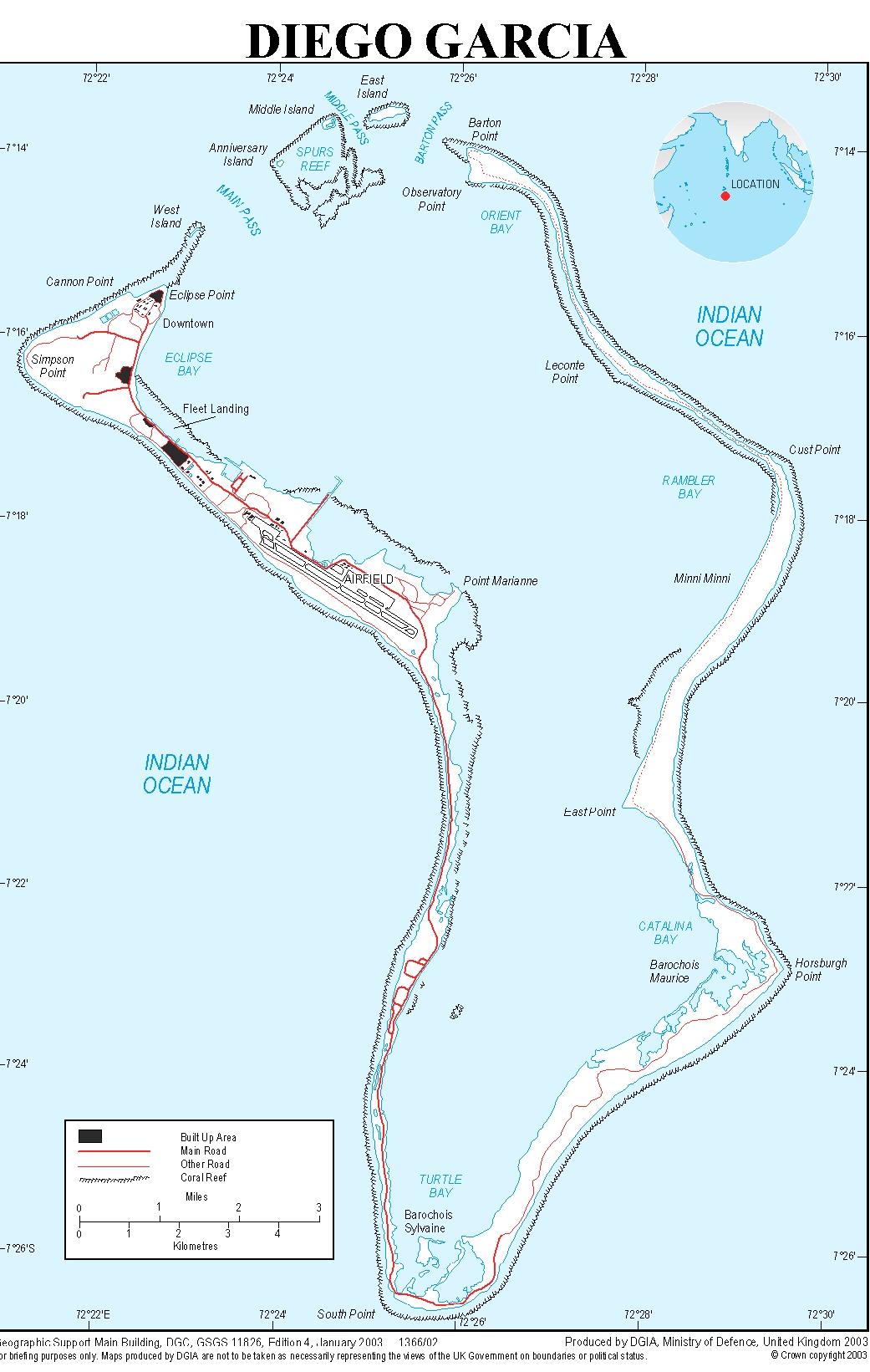
Here's a British MOD chart from 2003:
If anyone has any maps they'd like to
share,
please contact
me and I'll try to make them fit on this site.